
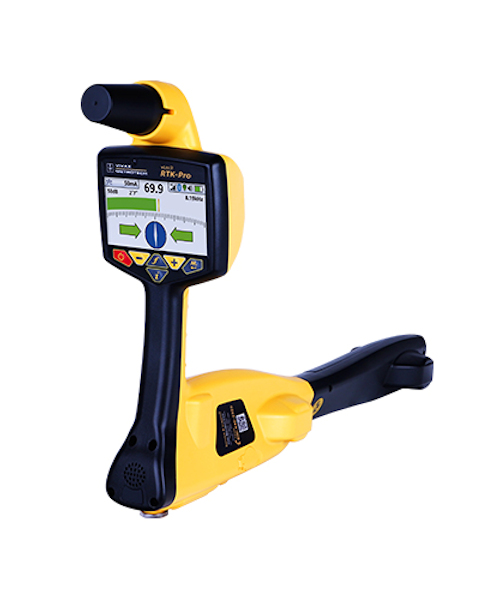
The vLoc3 RTK-Pro receiver is the first to add RTK GNSS accuracy to a utility locator. Using the RTK-Pro internal cellular module with 4G LTE capabilities, the operator has the ability to connect to NTRIP RTK (Real-Time Kinematic ) caster that provides RTCM 3 corrections. By utilizing these corrections, the operator can collect both utility location data along with the geographical location of the utility with survey-grade accuracy. The RTK-Pro was designed for use at all operator levels, utilizing user-friendly and intuitive locate screens. Operators simply confirm the utility data with the press of a button and align the electronic spirit level to store the data. All field data is sent to the cloud and retained in the receivers onboard storage for review and exporting to external mapping programs.
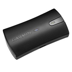
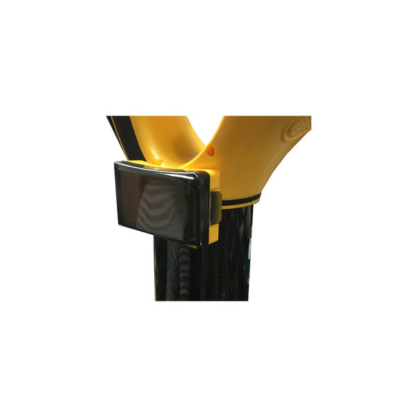
vLoc3 RTK Pro - Setup GPS Utility & Mapping System video vLoc3RTK-Pro Sales Sheet vLoc3RTK-Pro User HandbookThe Garmin GLO™ can receive position information from both the GPS and GLONASS satellite constellations, allowing it to connect to up to 24 more satellites than devices that rely on GPS alone. This allows GLO™ to lock on to satellites approximately 20 percent faster and remain connected even at high speed. What’s more, GLO™ updates its position information at 10 times per second — that’s up to 10 times more often than the GPS receivers in many mobile devices. Using Bluetooth technology, GLO™ wirelessly pairs to your mobile device. Just set GLO™ within range of your mobile device, and in moments you’ll be receiving GLO™’s position data. It has up to 12 hours of battery life to keep your position on long trips, and charging GLO™ between uses is easy with the included USB cable or optional 12/24-volt cigarette lighter adapter. The optional friction mount keeps the receiver safe on your dashboard and in full view of satellites. A custom holder is available for the GLO™ receiver. The custom holder mounts easily to the vLoc2 series receiver and provides easy access to the GLO™ receiver.
When used with Bluetooth enabled Vivax-Metrotech receivers, the VMMap Utility Mapping app records data from the field which is instantly available online via the VMMap Cloud web portal or can be shared by using the email function in the app. Location data is obtained from the mobile phone, or an external GPS device of your choice. Depth readings, GPS coordinates, the distance between locates and more are captured as data logs and can be saved as xls, txt, shp, and kml extension files. The data is compatible with Google Maps, Asset Management, and GIS software. The image capture feature in the app allows the user to attach a JPEG format image to the surveys. This is useful to add points of interest or a snapshot of the completed survey. Access the image files and all the data captured in the app in the VMMap Cloud web portal or email it from within the app. The VMMap app generates maps in real time, giving confidence to the field technician that the data being collected is accurate.
VMMap Cloud VMMap User Manual VMMap IOS User Manual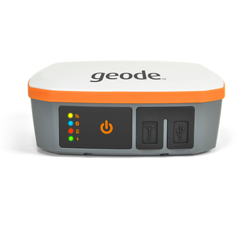
The Geode can easily collect real-time, submeter GNSS data without the huge price tag or complexity of other precision receivers. Designed with versatility in mind, the Geode works with a wide range of Windows®, Windows Mobile, and Android® devices to fit your needs exactly and is especially useful for bring-your-own-device workplaces. Take the Geode with you mounted on a pole, in a pack, or held in your hand to collect real-time sub-meter GNSS data in harsh environments, using almost any handheld device.
Geode Product Sheet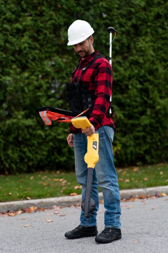
Eos Locate™ for Collector for ArcGIS is the world’s first real-time, high-accuracy, underground-mapping solution for utilities using Esri Collector. With Eos Locate™ for Collector, utilities can map their buried infrastructure (e.g., electric, gas, water, telecommunications infrastructure and more) with submeter or centimeter accuracy. All a field worker needs is an Eos Arrow GNSS receiver, Esri Collector, and a compatible locator device.